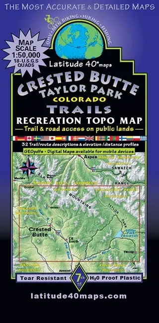
Latitude 40 Crested Butte/Taylor Trails
Share
$14.95
Buy and save
Buy and earn $0.29 Loyalty for your next purchase
Loyalty is a discount program that lets you buy products and earn points to redeem on your next purchase. Your Loyalty balance is updated when you pay online or in-store. The Loyalty amount shown on this page can be recalculated at the checkout.
In stock: 4 available
Product details
UPC: 831479003908
Brand: Latitude 40
Latitude 40 Crested Butte/Taylor Trails
The Latitude 40 Crested Butte/Taylor Trails map is a trail map for hiking, biking and exploring the Crested Butte and Taylor Park country. Coverage runs from West Maroon Pass south to Tincup and Cross Mountain, and from Texas Lakes west to Horse Ranch Park.
Highlights
- GPSed trails and roads: Routes are GPS mapped and marked with mileages and difficulty ratings.
- Scale and relief: 1:50,000 (1 in = 0.8 mi) with a 50 ft contour interval over shaded relief.
- Easy to navigate: Lat/long borders plus UTM coordinates make it simple to pair with a GPS.
Best For
Mountain bikers, hikers and trail runners planning trips around Crested Butte and Taylor Park, which sits just over the Collegiate Peaks from us.
Specs
- Scale: 1:50,000 (1 in = 0.8 mi)
- Contour interval: 50 ft with shaded relief
- Flat size: 39 x 25 in
- Folded size: 8 x 4 in
Customer reviews
Customer reviews
Reviews only from verified customers
No reviews yet. You can buy this product and be the first to leave a review.
Latitude 40 Crested Butte/Taylor Trails
Share