National Geographic Ark River Leadville-Salida
Share
$14.95
Buy and save
Buy and earn $0.29 Loyalty for your next purchase
Loyalty is a discount program that lets you buy products and earn points to redeem on your next purchase. Your Loyalty balance is updated when you pay online or in-store. The Loyalty amount shown on this page can be recalculated at the checkout.
In stock: 4 available
Product details
UPC: 749717923034
Brand: National Geographic Maps
Gender: Unisex
Activity: River
National Geographic Ark River Leadville-Salida
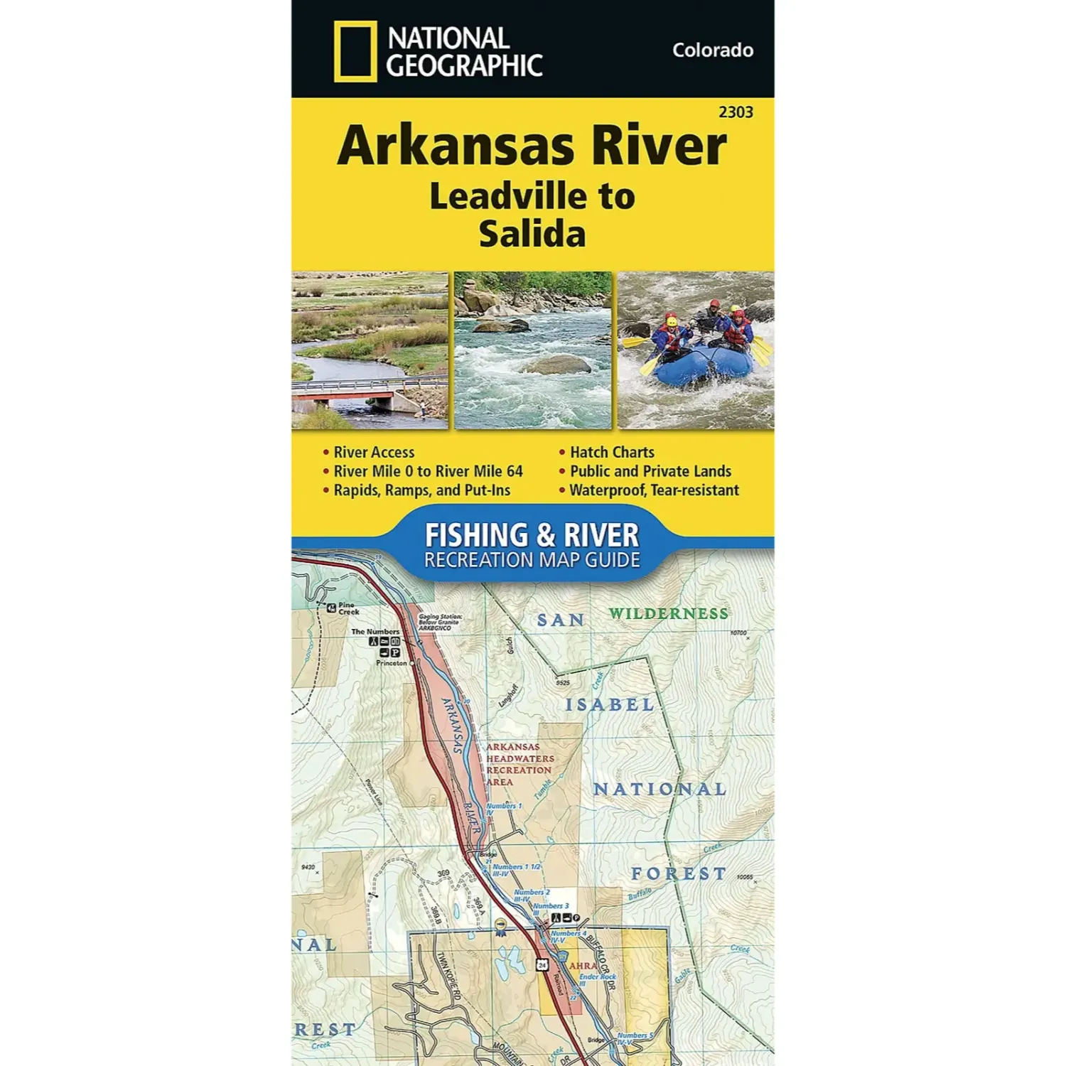
National Geographic Trails Illustrated map #2303 covers the Arkansas River from Leadville to Salida. Researched with land management agencies, it shows the upper valley in solid detail.
Highlights
- Waterproof and tear resistant: Printed on paper that handles wet weather and repeated folding.
- Detailed topo: Contour lines and elevations, plus marked trails, trailheads and campgrounds.
- GPS ready: A full UTM grid for GPS navigation.
Best For
Hikers, backpackers, hunters and anglers working the upper Arkansas, including the stretch through Browns Canyon.
Customer reviews
Customer reviews
Reviews only from verified customers
No reviews yet. You can buy this product and be the first to leave a review.
Delivery information
Shipping: in 2 days
Pickup: tomorrow, 10:00 AM–06:00 PM
National Geographic Ark River Leadville-Salida
Share
You May Also Like