National Geographic Benchmark UT Atlas
Share
$26.95
Buy and save
Buy and earn $0.53 Loyalty for your next purchase
Loyalty is a discount program that lets you buy products and earn points to redeem on your next purchase. Your Loyalty balance is updated when you pay online or in-store. The Loyalty amount shown on this page can be recalculated at the checkout.
In stock: 1 available
Product details
UPC: 9780929591216
Brand: National Geographic Maps
Gender: Unisex
Activity: Hike
National Geographic Benchmark UT Atlas
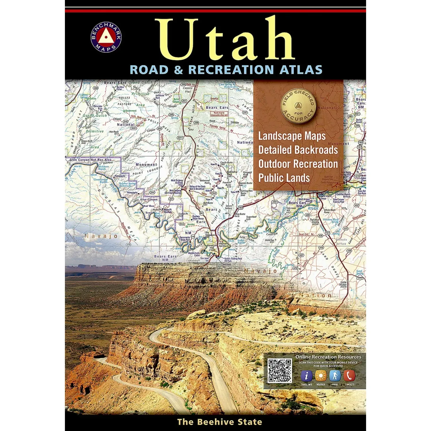
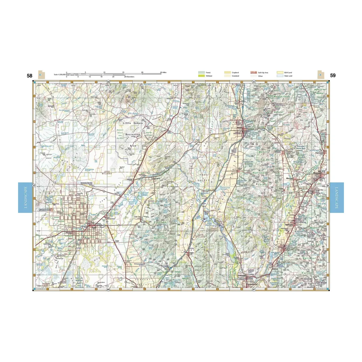
The Benchmark Utah atlas from National Geographic pairs shaded-relief Landscape Maps with color-coded public land Recreation Maps, all field-checked. It is a no-signal-needed way to find backroads, campgrounds and trailheads across Utah's canyon country and mountains.
Highlights
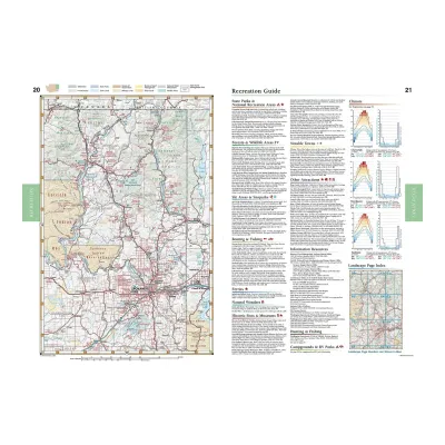
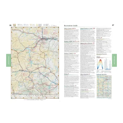
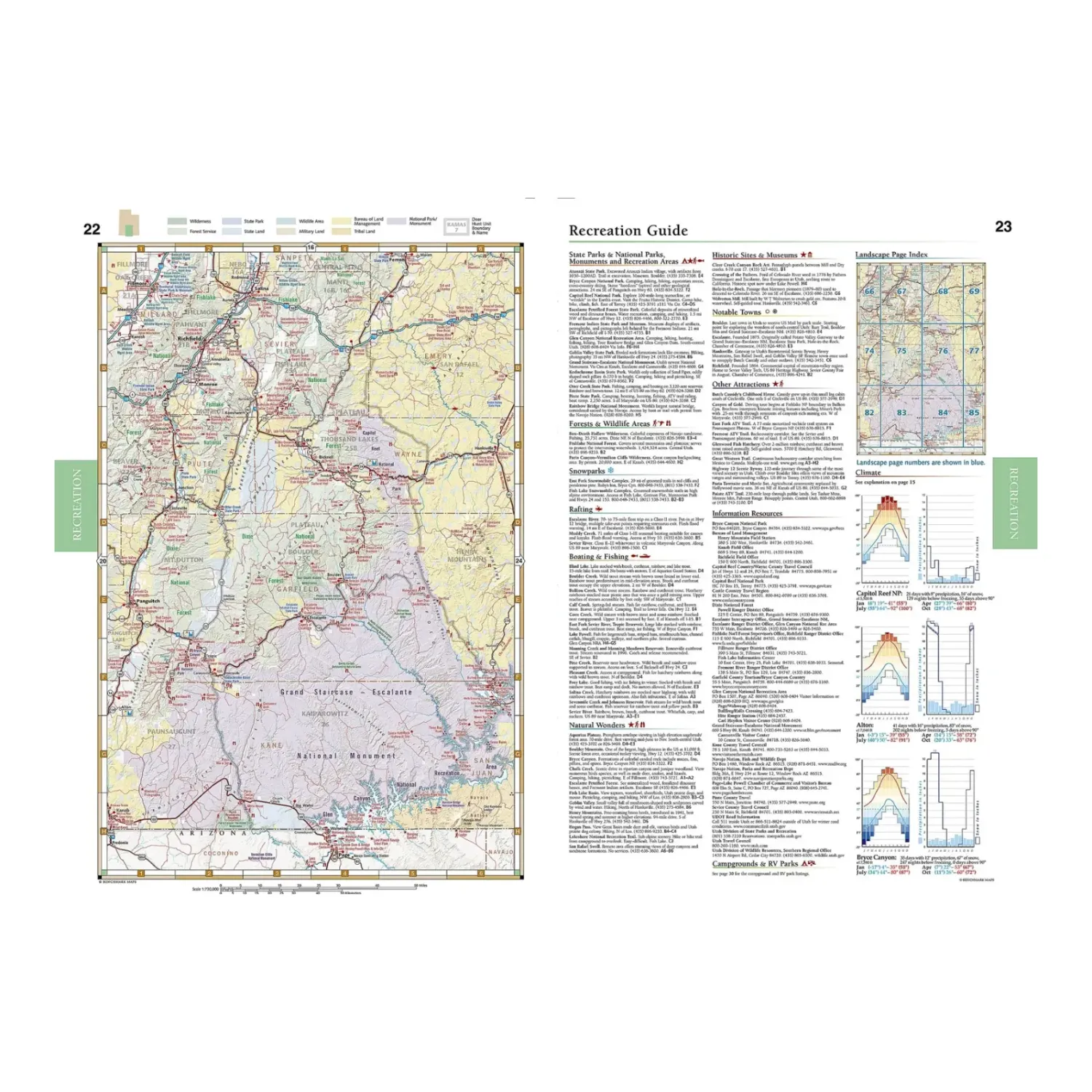
- Two map types: Shaded-relief Landscape Maps show terrain and road classes, while Recreation Maps color-code national forest, BLM, state park and wilderness land.
- Recreation guide: Listings for campgrounds, scenic spots, boat launches, hunting and fishing info and more.
- Navigation aids: A GPS grid and generous page overlap make it easy to follow a route across pages.
Best For
Desert road trips, canyon country camping and backroad exploring across Utah. Most of those trips from here start with a drive over Monarch Pass.
Specs
- Publisher: Benchmark Maps / National Geographic
- Pages: 96
- Scale: 1:250,000 and 1:730,000
- Size: 11 x 15 in
- ISBN: 9780929591735
Customer reviews
Customer reviews
Reviews only from verified customers
No reviews yet. You can buy this product and be the first to leave a review.
Delivery information
Shipping: in 2 days
Pickup: tomorrow, 10:00 AM–06:00 PM
National Geographic Benchmark UT Atlas
Share
You May Also Like