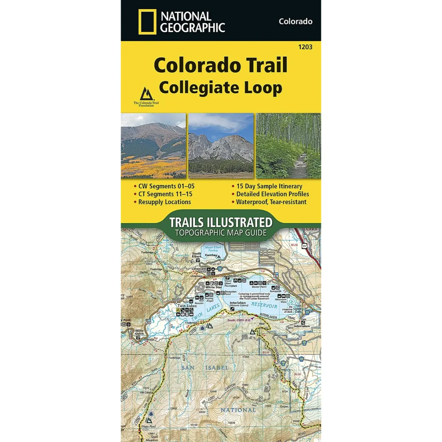
National Geographic CT Collegiate Loop
Share
$14.95
Buy and save
Buy and earn $0.29 Loyalty for your next purchase
Loyalty is a discount program that lets you buy products and earn points to redeem on your next purchase. Your Loyalty balance is updated when you pay online or in-store. The Loyalty amount shown on this page can be recalculated at the checkout.
In stock: 2 available
Product details
UPC: 749717912038
Brand: National Geographic Maps
Gender: Unisex
Activity: Hike
National Geographic CT Collegiate Loop
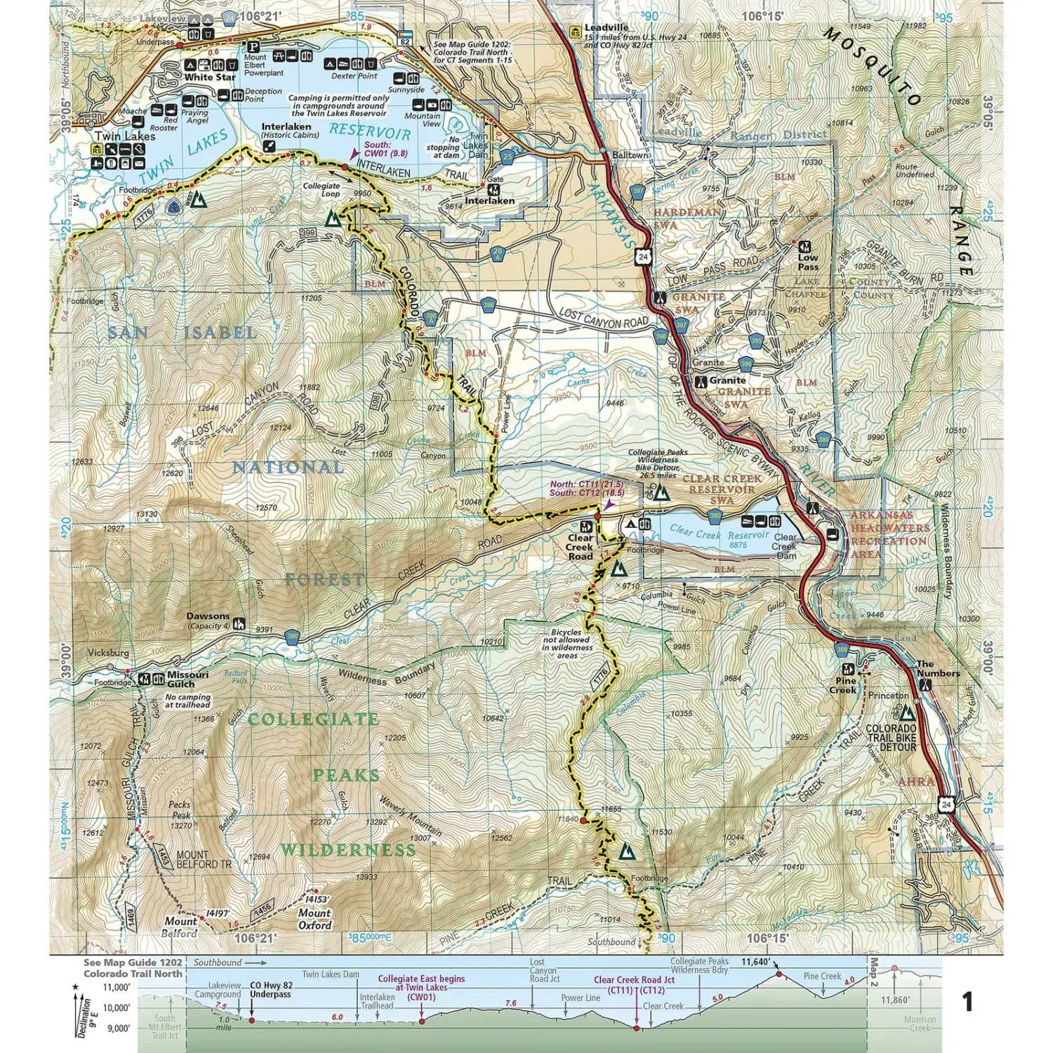
The National Geographic Colorado Trail Collegiate Loop is a Trails Illustrated map guide to the roughly 163-mile loop that combines Collegiate East and Collegiate West around the Sawatch Range. Trail-centered, overlapping pages follow the route from Twin Lakes past the 14ers to Monarch and back.
Highlights
- Full Collegiate Loop: Covers Collegiate West segments 1 to 5 and Colorado Trail segments 11 to 15.
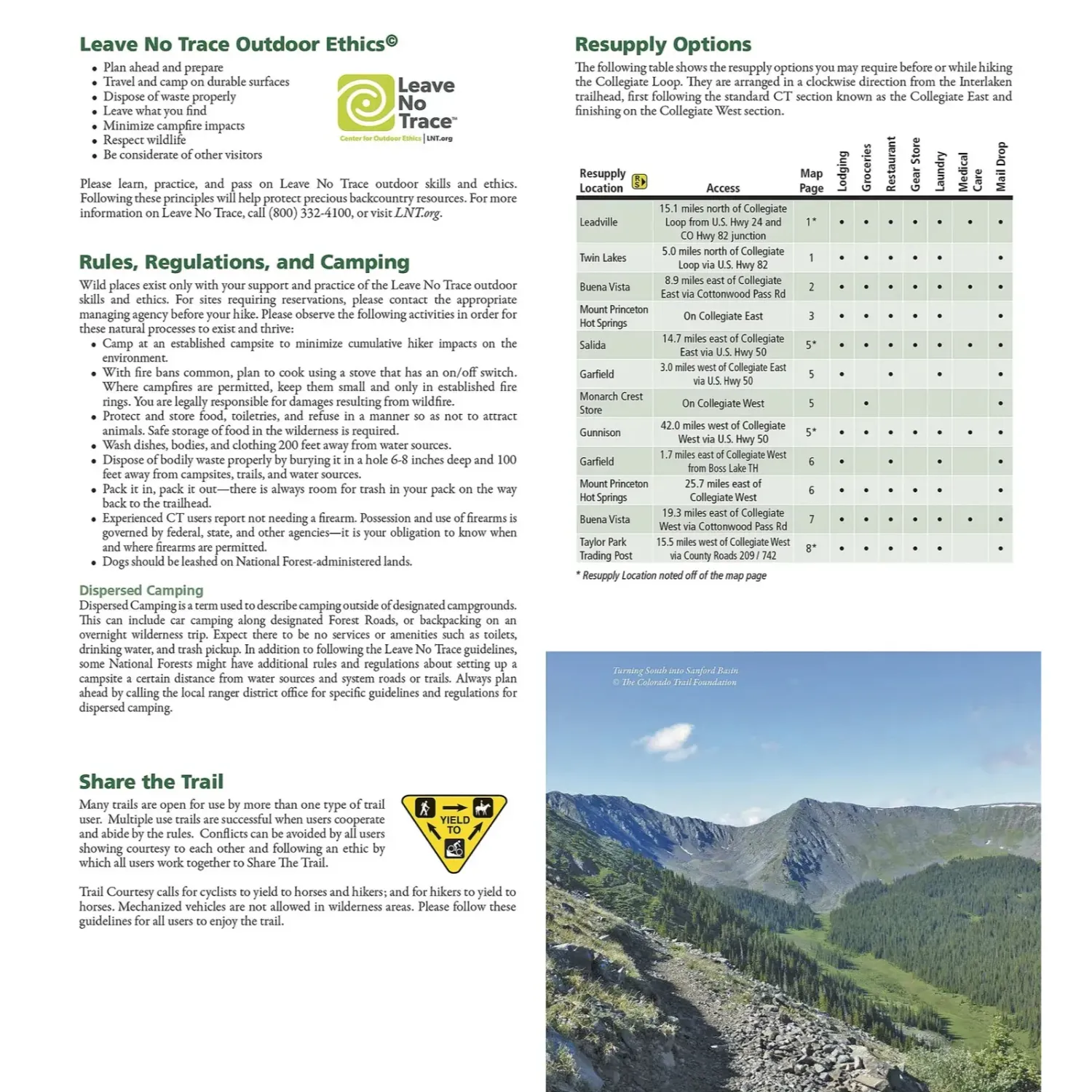
- Trip planning tools: Includes a 15-day sample itinerary, resupply locations and elevation profiles.
- Backcountry tough: Waterproof, tear-resistant paper with stainless steel staples, and overlapping pages that keep your place.
Best For
Hikers and backpackers taking on the Collegiate Loop or any section of the CT through our backyard range, the Collegiate Peaks.
Specs
- Map number: 1203
- Scale: 1:75,000
- Folded size: 4.25 x 9.38 in
- Pages: 32
- Weight: 3 oz
- Material: Waterproof, tear-resistant paper, stainless steel staples
- Copyright: 2024
- UPC: 749717912038
Customer reviews
Customer reviews
Reviews only from verified customers
No reviews yet. You can buy this product and be the first to leave a review.
Delivery information
Shipping: in 2 days
Pickup: tomorrow, 10:00 AM–06:00 PM
National Geographic CT Collegiate Loop
Share
You May Also Like