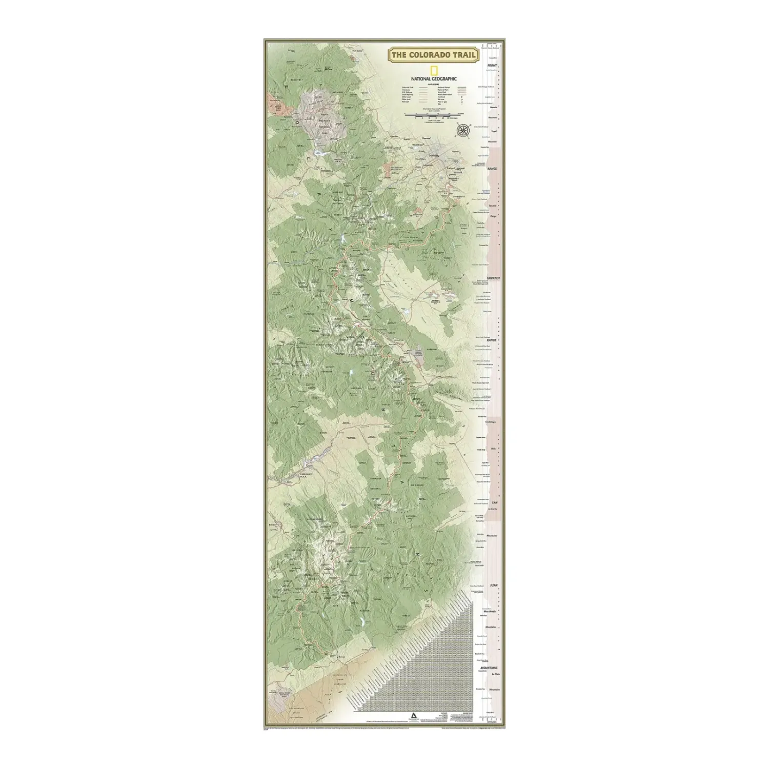
National Geographic CT Wall Map laminated
Share
$29.99
Buy and save
Buy and earn $0.59 Loyalty for your next purchase
Loyalty is a discount program that lets you buy products and earn points to redeem on your next purchase. Your Loyalty balance is updated when you pay online or in-store. The Loyalty amount shown on this page can be recalculated at the checkout.
In stock: 3 available
Product details
UPC: 749717212008
Brand: National Geographic Maps
Gender: Unisex
Activity: Hike
National Geographic CT Wall Map laminated
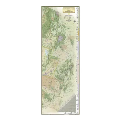
The National Geographic Colorado Trail wall map is a laminated map of the entire CT from Denver to Durango, with an elevation profile and a mileage chart between key points. Passes, peaks, forests, parks, campgrounds and lodges near the trail are shown too.
Highlights
- Entire trail: Nearly 500 miles of the Colorado Trail on one map, with an elevation profile of every climb and descent.
- Mileage chart: Quick distances between key locations for planning.
- Laminated: Heavy-duty 1.6 mil laminate, frameable without glass.
Best For
Planning a Colorado Trail thru-hike or section hike, or tracking progress on the wall. The CT runs right past us through the Collegiate Peaks.
Specs
- Flat size: 18 x 48 in
- Scale: 1:425,000
- Finish: 1.6 mil lamination
- Weight: 3 oz
- UPC: 749717212008
Customer reviews
Customer reviews
Reviews only from verified customers
No reviews yet. You can buy this product and be the first to leave a review.
Delivery information
Shipping: in 2 days
Pickup: tomorrow, 10:00 AM–06:00 PM
National Geographic CT Wall Map laminated
Share
You May Also Like