Home/Store/Accessories/Maps/Trail Maps
Add to Favorites
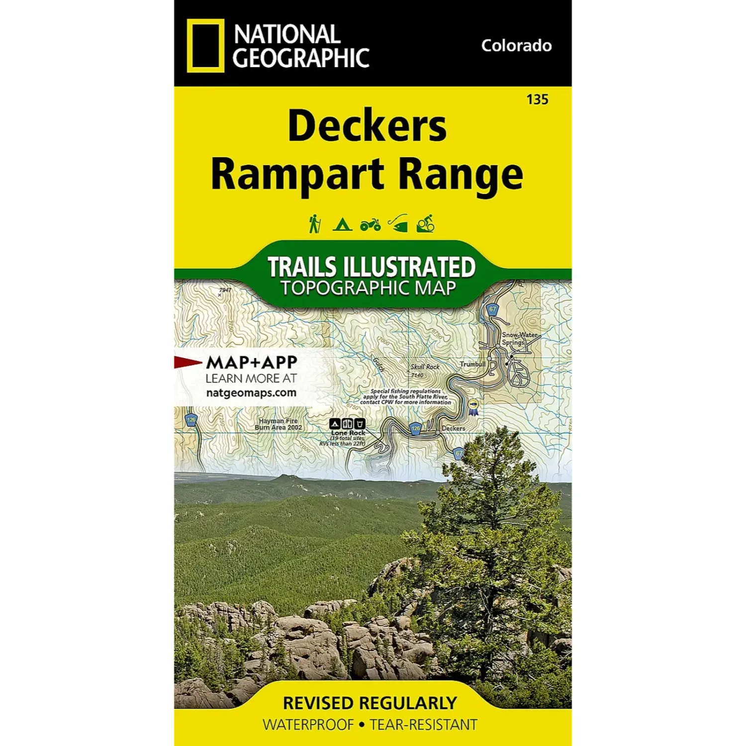
National Geographic Deckers/Rampart, main view

National Geographic Deckers/Rampart

Share
$14.95
Buy and save
Buy and earn $0.29 Loyalty for your next purchase
Loyalty is a discount program that lets you buy products and earn points to redeem on your next purchase. Your Loyalty balance is updated when you pay online or in-store. The Loyalty amount shown on this page can be recalculated at the checkout.
In stock: 3 available
Product details
UPC: 749717011359
Brand: National Geographic Maps
Gender: Unisex
Activity: Hike

National Geographic Deckers/Rampart

National Geographic Trails Illustrated map #135 covers Deckers and the Rampart Range. It is researched with land management agencies for a detailed look at the area.

Highlights

  • Built for the field: Waterproof, tear-resistant paper made to ride in a pack.
  • Trails and campgrounds: Trails, trailheads, campgrounds and other recreation features shown over contour lines and elevations.
  • GPS ready: A full UTM grid for GPS navigation.

Best For

Hikers, backpackers, hunters and anglers exploring the Front Range foothills. Pick it up at the shop in downtown Salida before you head that way.

Show More
Customer reviews
Customer reviews
Reviews only from verified customers
No reviews yet. You can buy this product and be the first to leave a review.
Delivery information
Shipping: in 2 days
Pickup: tomorrow, 10:00 AM–06:00 PM
National Geographic Deckers/Rampart
Share
You May Also Like
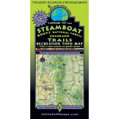
Latitude 40 Steamboat Routt Trails, main view
Latitude 40 Steamboat Routt Trails
$14.95
Latitude 40 Steamboat Routt Trails
Latitude 40 Tell/Silverton/Ouray Trails, main view
Latitude 40 Tell/Silverton/Ouray Trails
$14.95
Latitude 40 Tell/Silverton/Ouray Trails
National Geographic State Bridge/Burns, main view
National Geographic State Bridge/Burns
$14.95
National Geographic State Bridge/Burns
National Geographic Eagles Nest/Holy Cross, main view
National Geographic Eagles Nest/Holy Cross
$14.95
National Geographic Eagles Nest/Holy Cross
Outdoor Trail Maps Pikes Peak, Colorado Springs, main view
Outdoor Trail Maps Pikes Peak, Colorado Springs
$9.95
Outdoor Trail Maps Pikes Peak, Colorado Springs
  • Search Products
  • Favorites
  • Shopping Bag
  • Gift Cards
Powered by Lightspeed
Display prices in:USD
Skip to main content
Book rentals & demos online
Logo Image
Profile
Wishlist
Cart
Logo Image
  • Visit the Shop
  • Customer care
  • About
Profile
Wishlist
Cart
Shop
Backcountry
Trail Running
Hike & Camp
Sale
Info
Shipping & Returns
Rentals & Demos
Ski Shop & Bootfitting
About Us
Explore
Local Beta
Run Club
Shop by Brand
Gift Cards
Contact Us
+17195394400info@salidamtnsports.com
© 2026 Salida Mountain Sports · 110 N F St, Salida, CO 81201
Made with Ecwid by Lightspeed
Privacy Policy

|

Terms of Service