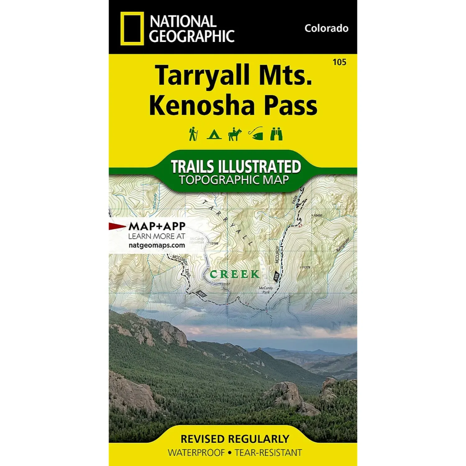
National Geographic Tarryall Mtns
Share
$14.95
Buy and save
Buy and earn $0.29 Loyalty for your next purchase
Loyalty is a discount program that lets you buy products and earn points to redeem on your next purchase. Your Loyalty balance is updated when you pay online or in-store. The Loyalty amount shown on this page can be recalculated at the checkout.
In stock: 3 available
Product details
UPC: 749717011052
Brand: National Geographic Maps
Gender: Unisex
Activity: Hike
National Geographic Tarryall Mtns
National Geographic Trails Illustrated map #105 covers the Tarryall Mountains and Kenosha Pass. Researched with land management agencies, it is a detailed topo for hiking, backpacking and exploring.
Highlights
- Waterproof and tear resistant: Printed on paper that handles wet weather and repeated folding.
- Detailed topo: Contour lines and elevations, plus marked trails, trailheads and campgrounds.
- GPS ready: A full UTM grid for GPS navigation, at a scale of 1:40,680.
Best For
Hikers, backpackers, hunters and anglers exploring the Tarryalls and Kenosha Pass. It is an easy drive from the shop in downtown Salida.
Specs
- Map number: Trails Illustrated #105
- Scale: 1:40,680
- Flat size: 25.5 x 37.75 in
- Material: Waterproof, tear-resistant paper
Customer reviews
Customer reviews
Reviews only from verified customers
No reviews yet. You can buy this product and be the first to leave a review.
Delivery information
Shipping: in 2 days
Pickup: tomorrow, 10:00 AM–06:00 PM
National Geographic Tarryall Mtns
Share
You May Also Like